Hi everyone, and welcome! My name is Kendahl Hejl, and I’m excited to launch this blog as part of Pigeon . I’m a current PhD Student and Research Fellow at Purdue University specializing in GIS and remote sensing, with a focus on understanding and monitoring how our landscapes change over time.
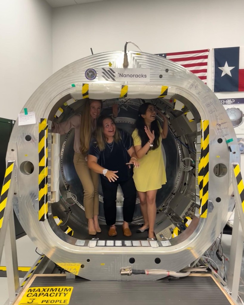
Through my work, I’ve had the opportunity to study shoreline change on the Great Lakes, develop workflows for shoreline detection, or apply spectral indices to satellite imagery. I’ve interned previously at NASA’s Space Communication and Navigation Program Office, developing reusable toolchains for experimental GPS receivers. I was also an intern at Sandia National Laboratories where I used data analysis to explore how open-source weather data and remote sensing images can help us model change in the Arctic Ocean.
I obtained my Masters in Geography from Texas State University, with a thesis on the capabilities of photogrammetry on stereo imagery to reconstruct topographic data of the South Pole of the Moon. I obtained my Bachelors of Science in Geographic Information Science and Technology from Texas A&M University where I participated in over three years of undergraduate research, exploring a wide variety of topics including seawater desalination, paleoclimate data analysis, urban sprawl prediction, and empirical analysis of terrorist cells across the world.
These experiences inspired me to create this blog as a place to share not only my research, but also practical insights, tools, and stories from the geospatial world.
Whether you’re a fellow researcher, GIS professional, student, or simply someone curious about how satellites and spatial analysis help us understand the planet, I hope you’ll find something valuable here. Expect posts on methods, case studies, geospatial technology, and reflections on the power of imagery to reveal change.
Thanks for stopping by — I look forward to sharing this journey with you!


Leave a comment